Technology - New App Could Improve Earthquake Warning Using GPS

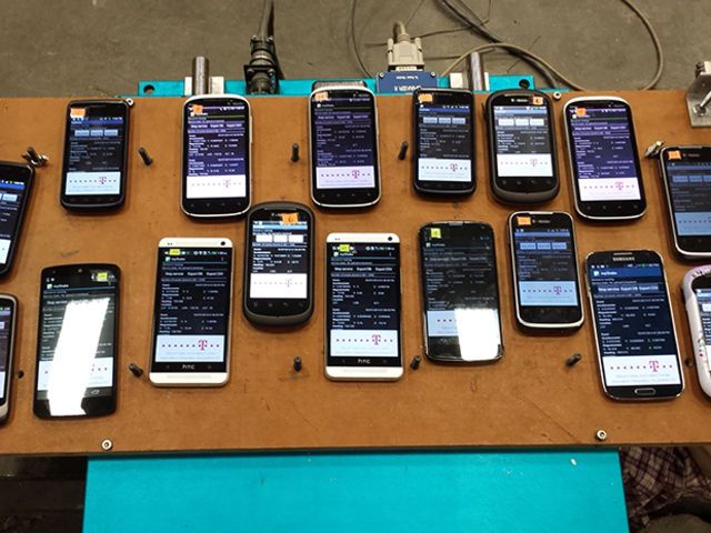
A new Android app uses smartphone GPS sensors to detect earthquakes and estimate their locations and magnitudes in real time. The technology could lead to a dense global seismic network that can warn people who are a few kilometers away from a quake’s epicenter, giving them a few seconds to find a safe spot before the strongest tremors hit. Scientists at the University of California, Berkeley, have released the free app, called MyShake, on Google Play.
Earthquake early-warning systems exist today only in Japan and Mexico. The U.S. Geological Survey (USGS) is currently testing a system called ShakeAlert for the western United States. These systems use data from networks of tens to a few hundred seismic stations spaced kilometers apart.
GPS accelerometers, which can take continuous measurements at a particular location, can also detect long-term ground movement at a geological fault that, with a sudden release of built-up forces, results in an earthquake. And since most smartphones today come with these accelerometers, they could become a free, crowdsourced seismic monitoring network.
“A smartphone network will be very dense, with a sensor or two on every block,” says Qingkai Kong, a graduate student who developed the algorithm at the heart of the MyShake app. “It can supplement the current seismic network. And in places like Haiti or Nepal, where there is no traditional seismic networking but millions of smartphones, this could be a low-cost system to issue warnings and save lives.”
Researchers at the USGS recently reported that the measurements gleaned from commercial GPS devices could indeed improve quake warning.
But the new app is the first practical way to tap into the data the smartphone GPS sensors provide. For one, its clever algorithm can differentiate between quake tremors and normal human activity. It does this by analyzing the frequency and amplitude of the accelerometer signals, Kong says. In simulated tests, the algorithm accurately distinguished quakes from other movement 93 percent of the time. The researchers detailed their algorithm in the journal Science Advances.
The other key feature of the app is that it runs in the background on a handset and draws a minuscule amount of power. Because GPS is power-hungry, the app uses it only when absolutely necessary. It will briefly activate the phone’s GPS and send information on time, amplitude of the shaking, and the phone’s GPS coordinates only when the handset's accelerometers detect motion that fits an earthquake profile. For most users, a phone running MyShake wouldn’t need to be charged any more frequently than phones without the app, Kong says.
The data is sent from phones to a processing center at the Berkeley lab. There, a network detection algorithm calculates the location, origin time, and magnitude of the earthquake based on triggers from multiple phones. Then this information can be used to estimate the tremor intensity and the remaining time until damaging waves arrive at a target location.
In a series of proof-of-concept simulations using data from various California earthquakes, the researchers show that smartphones equipped with the app can record magnitude 5 earthquakes at distances of 10 kilometers or less. The earthquakes were first identified 5 seconds after the tremors started. This performance was similar to that of the ground-based ShakeAlert warning system that the USGS is currently testing, which issues alerts 5.3 seconds after quake origin. “In most cases these phones can only detect very strong parts of shaking, not the early portion of the wave,” Kong says.
A denser network of app-equipped phones would yield a network capable of detecting an earthquake faster and better, Kong says. “Usually within a 110-by-110-km area and [with] more than 300 smartphones, we could make a relatively accurate estimate of location, magnitude, and origin time.”
Once enough people are using the app and the bugs are worked out, the Berkeley team plans to build a real-time warning system. They’re also working on an iPhone app.
1 comments:
Be informed of local civil alerts, hazardous weather situations, wildfires, earthquake, volcanic and tsunami activity in your area or that of your loved ones.
Visit us Our Emergency Plans
Emoticon